TYPE:
SENSOR
LAYER:
DS_PHR1B_202008110636530_FR1_PX_E055S21_0802_01313
FORMAT:
DIMAP
RASTER:
image/jp2
General Information
Map Name
Geometric Processing Level
Radiometric Processing Level
BASIC
Image dimensions
Number of columns
6088
Number of rows
7227
Number of spectral bands
4
Dataset framing
Vertice
Longitude (DEG)
Latitude (DEG)
Row
Col
#1
55.59260835951576
-20.89202119845741
1
#2
55.71171448901111
-20.89244013679117
#3
55.711775018097
-21.0259583525453
#4
55.59236655841556
-21.02403826646858
Dataset sources
PHR
Coordinate Reference System
Projected Coordinate System
Geocoding tables identification
EPSG(6.3)
Production
Production Date
2020-08-13T16:59:07.531
Job identification
5244054101-2
Dataset Producer Identification
AIRBUS DS GEO
Producer link
http://www.geo-airbusds.com
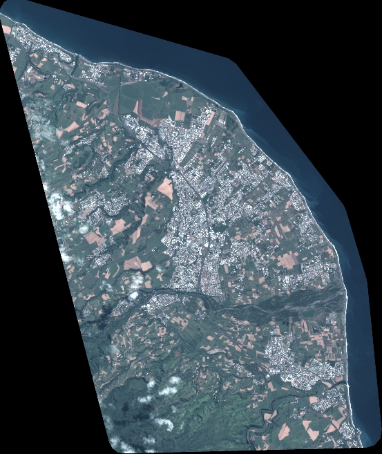
Quicklook
Copyright