TYPE:
SENSOR
LAYER:
SEN_SPOT7_20200809_101340100_000
FORMAT:
DIMAP
RASTER:
image/jp2
General Information
Map Name
Geometric Processing Level
Radiometric Processing Level
BASIC
Image dimensions
Number of columns
38609
Number of rows
41633
Number of spectral bands
1
Dataset framing
Vertice
Longitude (DEG)
Latitude (DEG)
Row
Col
#1
7.20686652064
49.1322892518
#2
8.04821112174
49.124734108
#3
8.04683885628
48.5269590618
#4
7.20924557032
48.5365256727
Dataset sources
SPOT
Coordinate Reference System
Projected Coordinate System
Geocoding tables identification
ITU(0.0)
Production
Production Date
2020-08-20T13:29:41.00Z
Job identification
SPOT7_20200820_1305081gclw3kprrdj5_1
Dataset Producer Identification
"SRD GEOSUD / IRD, Irstea, IGN"
Producer link
http://geosud.teledetection.fr/
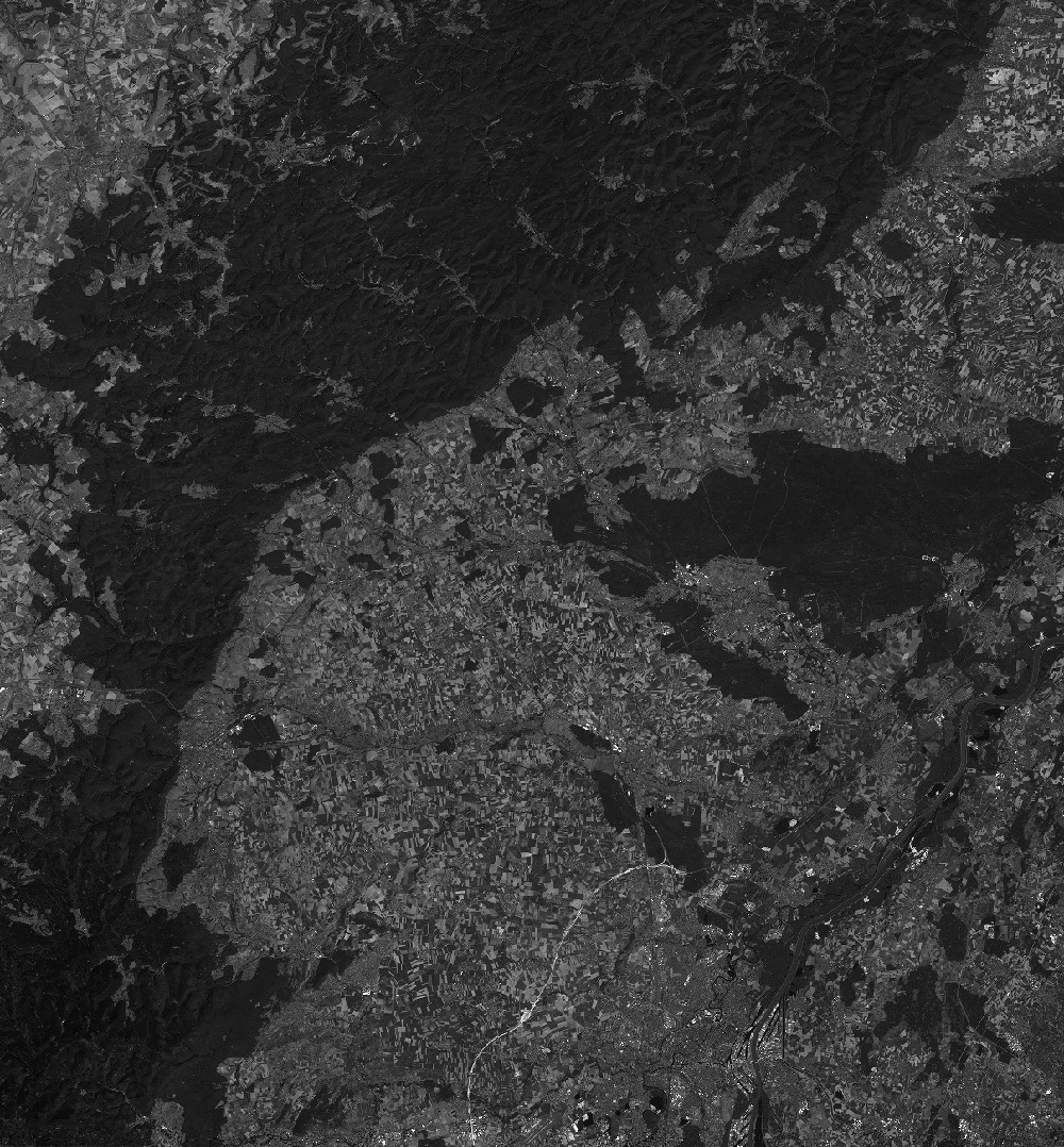
Quicklook
Copyright