TYPE:
SENSOR
LAYER:
DS_PHR1B_202007291024536_FR1_PX_E007N48_0913_01571
FORMAT:
DIMAP
RASTER:
image/jp2
General Information
Map Name
Geometric Processing Level
Radiometric Processing Level
BASIC
Image dimensions
Number of columns
36648
Number of rows
34804
Number of spectral bands
1
Dataset framing
Vertice
Longitude (DEG)
Latitude (DEG)
Row
Col
#1
7.531883937986113
48.60253024164423
#2
7.811879650062997
48.60106141699771
#3
7.811227442247827
48.43772608407549
#4
7.532901779235556
48.43764947676087
Dataset sources
PHR
Coordinate Reference System
Projected Coordinate System
Geocoding tables identification
EPSG(6.3)
Production
Production Date
2020-08-24T15:25:22.652
Job identification
5275773101-1
Dataset Producer Identification
AIRBUS DS GEO
Producer link
http://www.geo-airbusds.com
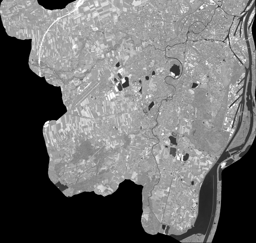
Quicklook
Copyright