TYPE:
SENSOR
LAYER:
DS_PHR1B_202007291025243_FR1_PX_E007N48_0913_01558
FORMAT:
DIMAP
RASTER:
image/jp2
General Information
Map Name
Geometric Processing Level
Radiometric Processing Level
BASIC
Image dimensions
Number of columns
36459
Number of rows
34512
Number of spectral bands
1
Dataset framing
Vertice
Longitude (DEG)
Latitude (DEG)
Row
Col
#1
7.531759009995652
48.61772775608667
#2
7.811737151369587
48.60057073047694
#3
7.811120870858745
48.42551863282102
#4
7.533017998342944
48.4413868229292
Dataset sources
PHR
Coordinate Reference System
Projected Coordinate System
Geocoding tables identification
EPSG(6.3)
Production
Production Date
2020-08-24T15:19:01.078
Job identification
5275772101-1
Dataset Producer Identification
AIRBUS DS GEO
Producer link
http://www.geo-airbusds.com
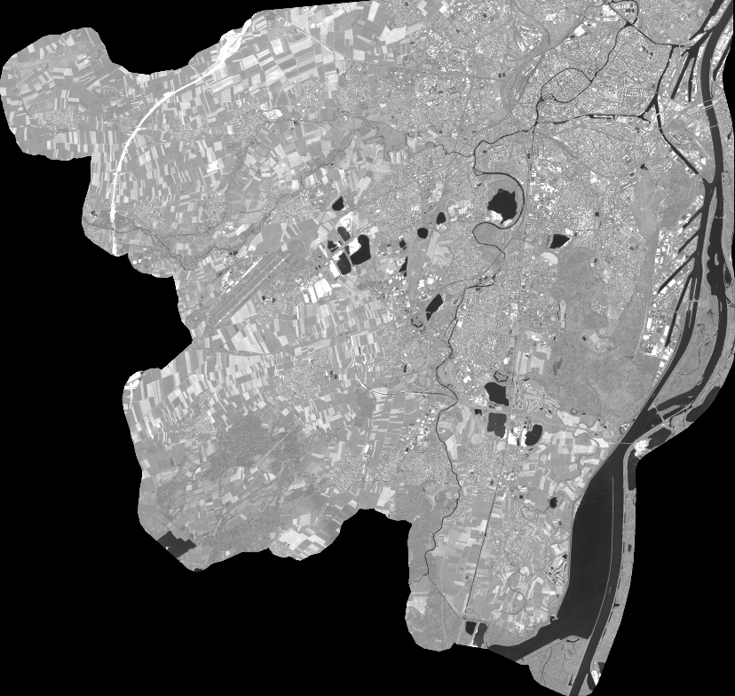
Quicklook
Copyright