TYPE:
SENSOR
LAYER:
DS_PHR1B_202007291024398_FR1_PX_E007N48_0913_01632
FORMAT:
DIMAP
RASTER:
image/jp2
General Information
Map Name
Geometric Processing Level
Radiometric Processing Level
BASIC
Image dimensions
Number of columns
35662
Number of rows
36176
Number of spectral bands
1
Dataset framing
Vertice
Longitude (DEG)
Latitude (DEG)
Row
Col
#1
7.531835472355283
48.60073984001657
#2
7.811992888342293
48.60842314638473
#3
7.811372076997702
48.43462621819526
#4
7.533003214568626
48.42515278283948
Dataset sources
PHR
Coordinate Reference System
Projected Coordinate System
Geocoding tables identification
EPSG(6.3)
Production
Production Date
2020-08-24T15:15:33.522
Job identification
5275771101-1
Dataset Producer Identification
AIRBUS DS GEO
Producer link
http://www.geo-airbusds.com
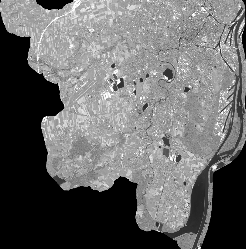
Quicklook
Copyright