TYPE:
SENSOR
LAYER:
DS_PHR1B_202007291025036_FR1_PX_E007N48_1015_01740
FORMAT:
DIMAP
RASTER:
image/jp2
General Information
Map Name
Geometric Processing Level
Radiometric Processing Level
BASIC
Image dimensions
Number of columns
36416
Number of rows
38608
Number of spectral bands
1
Dataset framing
Vertice
Longitude (DEG)
Latitude (DEG)
Row
Col
#1
7.62780075046303
48.71061670981825
#2
7.903125282138481
48.70252596107851
#3
7.902422078906848
48.52002321420781
#4
7.628922231326034
48.52660044968038
Dataset sources
PHR
Coordinate Reference System
Projected Coordinate System
Geocoding tables identification
EPSG(6.3)
Production
Production Date
2020-08-24T15:18:42.563
Job identification
5275770101-1
Dataset Producer Identification
AIRBUS DS GEO
Producer link
http://www.geo-airbusds.com
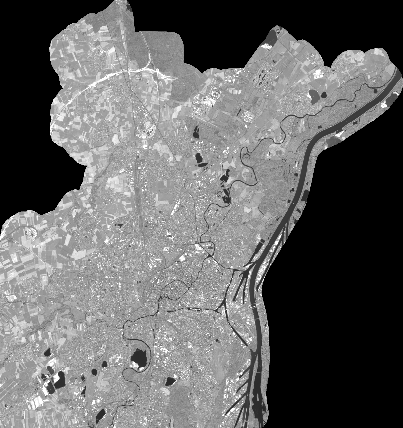
Quicklook
Copyright