TYPE:
SENSOR
LAYER:
DS_PHR1B_202007291025036_FR1_PX_E007N48_1015_01740
FORMAT:
DIMAP
RASTER:
image/jp2
General Information
Map Name
Geometric Processing Level
Radiometric Processing Level
BASIC
Image dimensions
Number of columns
9105
Number of rows
9652
Number of spectral bands
4
Dataset framing
Vertice
Longitude (DEG)
Latitude (DEG)
Row
Col
#1
7.627819220285252
48.71060996313733
1
#2
7.903150849347848
48.70251824431275
#3
7.902446620608576
48.52002923183747
#4
7.628939729495785
48.52660745646488
Dataset sources
PHR
Coordinate Reference System
Projected Coordinate System
Geocoding tables identification
EPSG(6.3)
Production
Production Date
2020-08-24T15:18:36.126
Job identification
5275770101-2
Dataset Producer Identification
AIRBUS DS GEO
Producer link
http://www.geo-airbusds.com
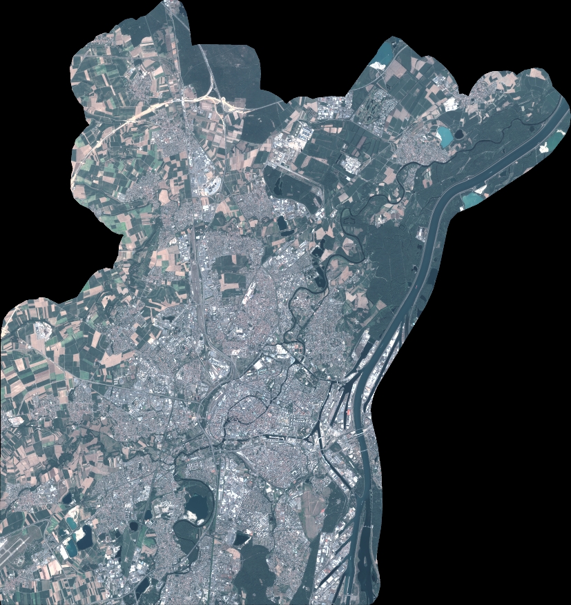
Quicklook
Copyright