TYPE:
SENSOR
LAYER:
DS_PHR1B_202007291025151_FR1_PX_E007N48_1015_01685
FORMAT:
DIMAP
RASTER:
image/jp2
General Information
Map Name
Geometric Processing Level
Radiometric Processing Level
BASIC
Image dimensions
Number of columns
36237
Number of rows
37368
Number of spectral bands
1
Dataset framing
Vertice
Longitude (DEG)
Latitude (DEG)
Row
Col
#1
7.627816515944973
48.71220087730373
#2
7.90300786492007
48.69865037257946
#3
7.902277920023556
48.51590355667554
#4
7.628894810613203
48.52811106550276
Dataset sources
PHR
Coordinate Reference System
Projected Coordinate System
Geocoding tables identification
EPSG(6.3)
Production
Production Date
2020-08-24T15:27:46.974
Job identification
5275769101-1
Dataset Producer Identification
AIRBUS DS GEO
Producer link
http://www.geo-airbusds.com
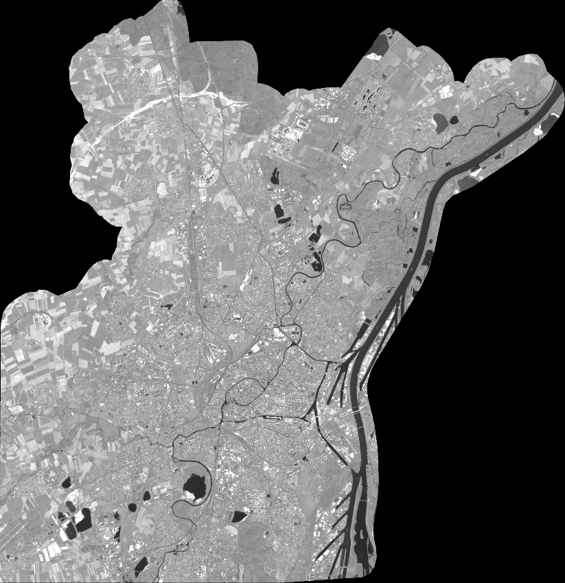
Quicklook
Copyright