TYPE:
SENSOR
LAYER:
DS_PHR1B_202007291025151_FR1_PX_E007N48_1015_01685
FORMAT:
DIMAP
RASTER:
image/jp2
General Information
Map Name
Geometric Processing Level
Radiometric Processing Level
BASIC
Image dimensions
Number of columns
9060
Number of rows
9342
Number of spectral bands
4
Dataset framing
Vertice
Longitude (DEG)
Latitude (DEG)
Row
Col
#1
7.627843239272288
48.71219238742218
1
#2
7.903034344018534
48.69864186565002
#3
7.90230309674229
48.51590893974959
#4
7.628920108453
48.5281165485268
Dataset sources
PHR
Coordinate Reference System
Projected Coordinate System
Geocoding tables identification
EPSG(6.3)
Production
Production Date
2020-08-24T15:25:52.887
Job identification
5275769101-2
Dataset Producer Identification
AIRBUS DS GEO
Producer link
http://www.geo-airbusds.com
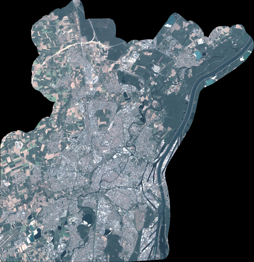
Quicklook
Copyright