TYPE:
SENSOR
LAYER:
DS_PHR1B_202007291024307_FR1_PX_E007N48_1015_01707
FORMAT:
DIMAP
RASTER:
image/jp2
General Information
Map Name
Geometric Processing Level
Radiometric Processing Level
BASIC
Image dimensions
Number of columns
34384
Number of rows
37864
Number of spectral bands
1
Dataset framing
Vertice
Longitude (DEG)
Latitude (DEG)
Row
Col
#1
7.627957169463596
48.70439601952803
#2
7.903273296259284
48.71679748194707
#3
7.902610939572174
48.53032587301548
#4
7.629047383482962
48.51596916572588
Dataset sources
PHR
Coordinate Reference System
Projected Coordinate System
Geocoding tables identification
EPSG(6.3)
Production
Production Date
2020-08-24T15:16:41.124
Job identification
5275768101-1
Dataset Producer Identification
AIRBUS DS GEO
Producer link
http://www.geo-airbusds.com
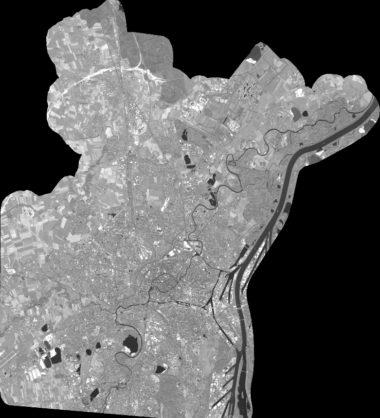
Quicklook
Copyright