TYPE:
SENSOR
LAYER:
DS_PHR1B_202007291024307_FR1_PX_E007N48_1015_01707
FORMAT:
DIMAP
RASTER:
image/jp2
General Information
Map Name
Geometric Processing Level
Radiometric Processing Level
BASIC
Image dimensions
Number of columns
8597
Number of rows
9466
Number of spectral bands
4
Dataset framing
Vertice
Longitude (DEG)
Latitude (DEG)
Row
Col
#1
7.62796032913243
48.70438919252797
1
#2
7.903284012746919
48.71679021352604
#3
7.902622167925059
48.53033224410203
#4
7.629050819255482
48.51597602117113
Dataset sources
PHR
Coordinate Reference System
Projected Coordinate System
Geocoding tables identification
EPSG(6.3)
Production
Production Date
2020-08-24T15:16:07.675
Job identification
5275768101-2
Dataset Producer Identification
AIRBUS DS GEO
Producer link
http://www.geo-airbusds.com
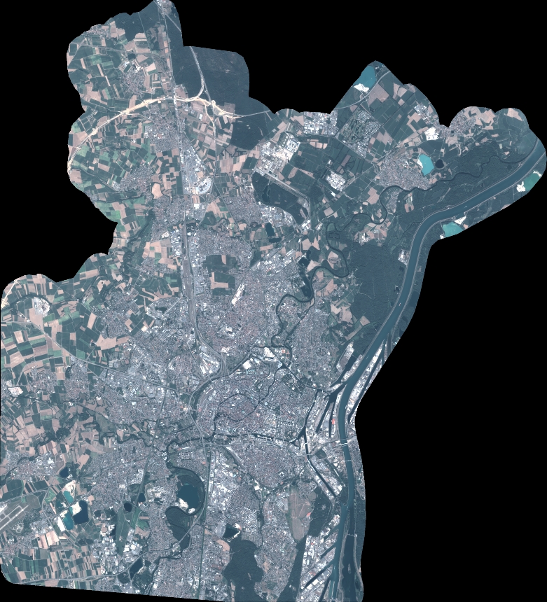
Quicklook
Copyright