TYPE:
SENSOR
LAYER:
SEN_SPOT6_20200727_101248300_000
FORMAT:
DIMAP
RASTER:
image/jp2
General Information
Map Name
Geometric Processing Level
Radiometric Processing Level
BASIC
Image dimensions
Number of columns
38609
Number of rows
42265
Number of spectral bands
1
Dataset framing
Vertice
Longitude (DEG)
Latitude (DEG)
Row
Col
#1
6.64275344986
48.6250433306
#2
7.4697436391
48.6234245893
#3
7.46806254627
48.0260687328
#4
6.64546102518
48.0281595065
Dataset sources
SPOT
Coordinate Reference System
Projected Coordinate System
Geocoding tables identification
ITU(0.0)
Production
Production Date
2020-07-30T08:31:35.00Z
Job identification
SPOT6_20200730_0808111q1v3d5uhchl0_1
Dataset Producer Identification
"SRD GEOSUD / IRD, Irstea, IGN"
Producer link
http://geosud.teledetection.fr/
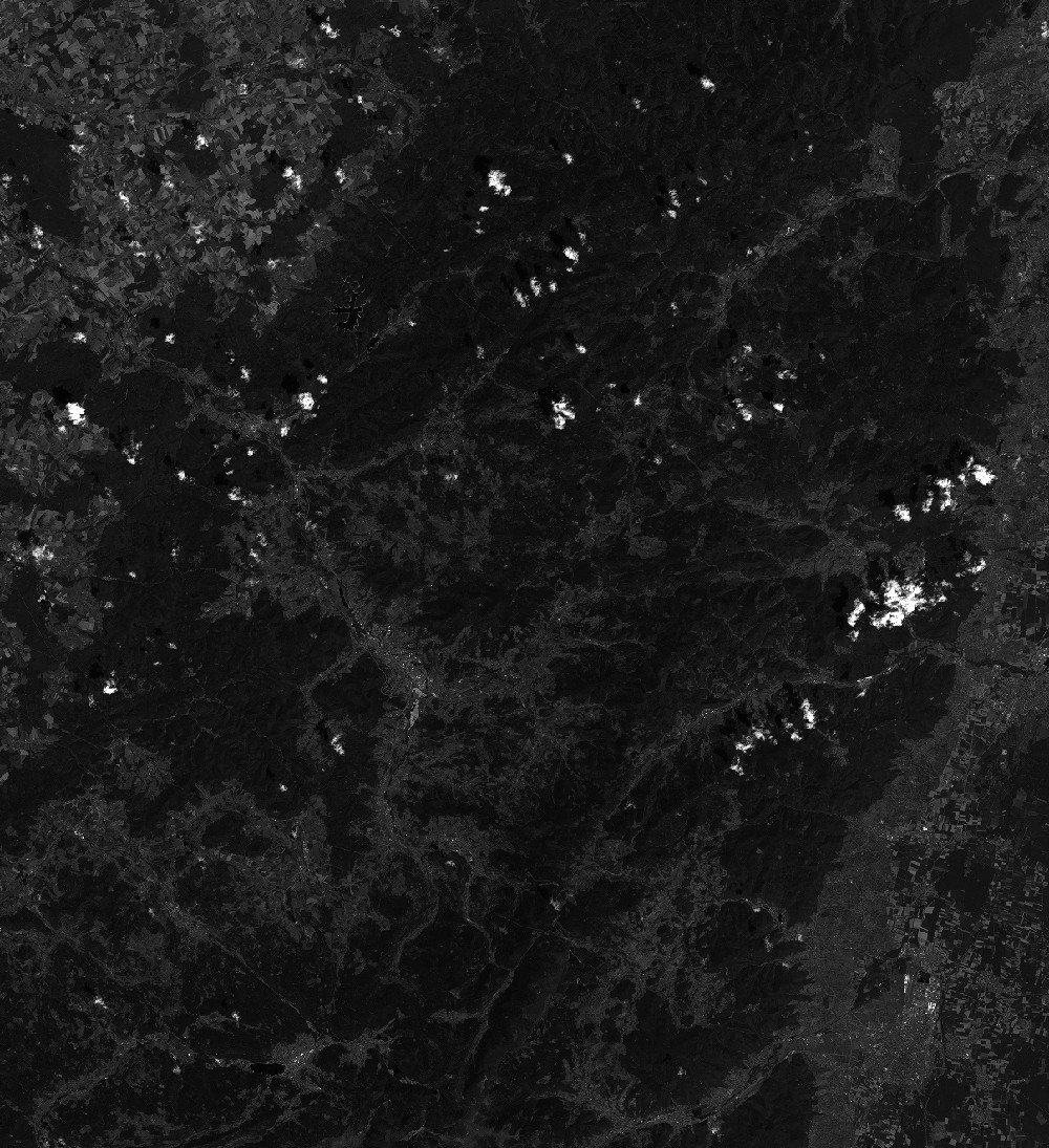
Quicklook
Copyright