TYPE:
SENSOR
LAYER:
SEN_SPOT6_20200727_101248300_000
FORMAT:
DIMAP
RASTER:
image/jp2
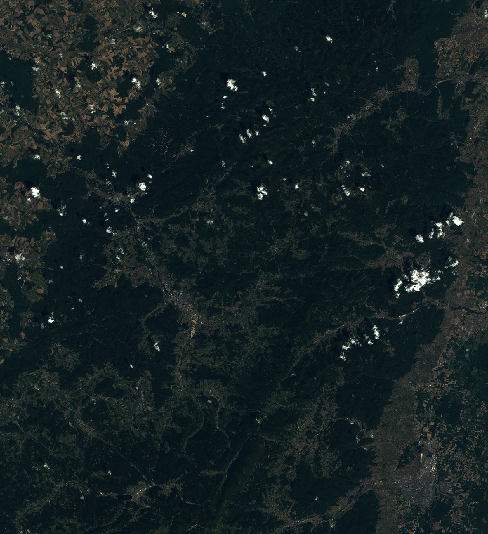
General Information
Map Name
Geometric Processing Level
Radiometric Processing Level
BASIC
Image dimensions
Number of columns
9652
Number of rows
10566
Number of spectral bands
4
Dataset framing
Vertice
Longitude (DEG)
Latitude (DEG)
Row
Col
#1
6.64279599208
48.625015166
1
#2
7.46970023702
48.6233965719
#3
7.46801944811
48.0260972533
#4
6.64550300344
48.0281877869
Dataset sources
SPOT
Coordinate Reference System
Projected Coordinate System
Geocoding tables identification
ITU(0.0)
Production
Production Date
2020-07-30T08:31:35.00Z
Job identification
SPOT6_20200730_0808111q1v3d5uhchl0_1
Dataset Producer Identification
"SRD GEOSUD / IRD, Irstea, IGN"
Producer link
http://geosud.teledetection.fr/
Quicklook
Copyright