TYPE:
SENSOR
LAYER:
SEN_SPOT6_20200727_101230900_000
FORMAT:
DIMAP
RASTER:
image/jp2
General Information
Map Name
Geometric Processing Level
Radiometric Processing Level
BASIC
Image dimensions
Number of columns
38609
Number of rows
40637
Number of spectral bands
1
Dataset framing
Vertice
Longitude (DEG)
Latitude (DEG)
Row
Col
#1
7.04095083967
48.6306152577
#2
7.88096533931
48.6185429124
#3
7.87947445189
48.0225002464
#4
7.04323153964
48.0380571475
Dataset sources
SPOT
Coordinate Reference System
Projected Coordinate System
Geocoding tables identification
ITU(0.0)
Production
Production Date
2020-10-27T15:33:58.00Z
Job identification
SPOT6_20201027_1510541jokbfop90rp9_1
Dataset Producer Identification
"SRD GEOSUD / IRD, Irstea, IGN"
Producer link
http://geosud.teledetection.fr/
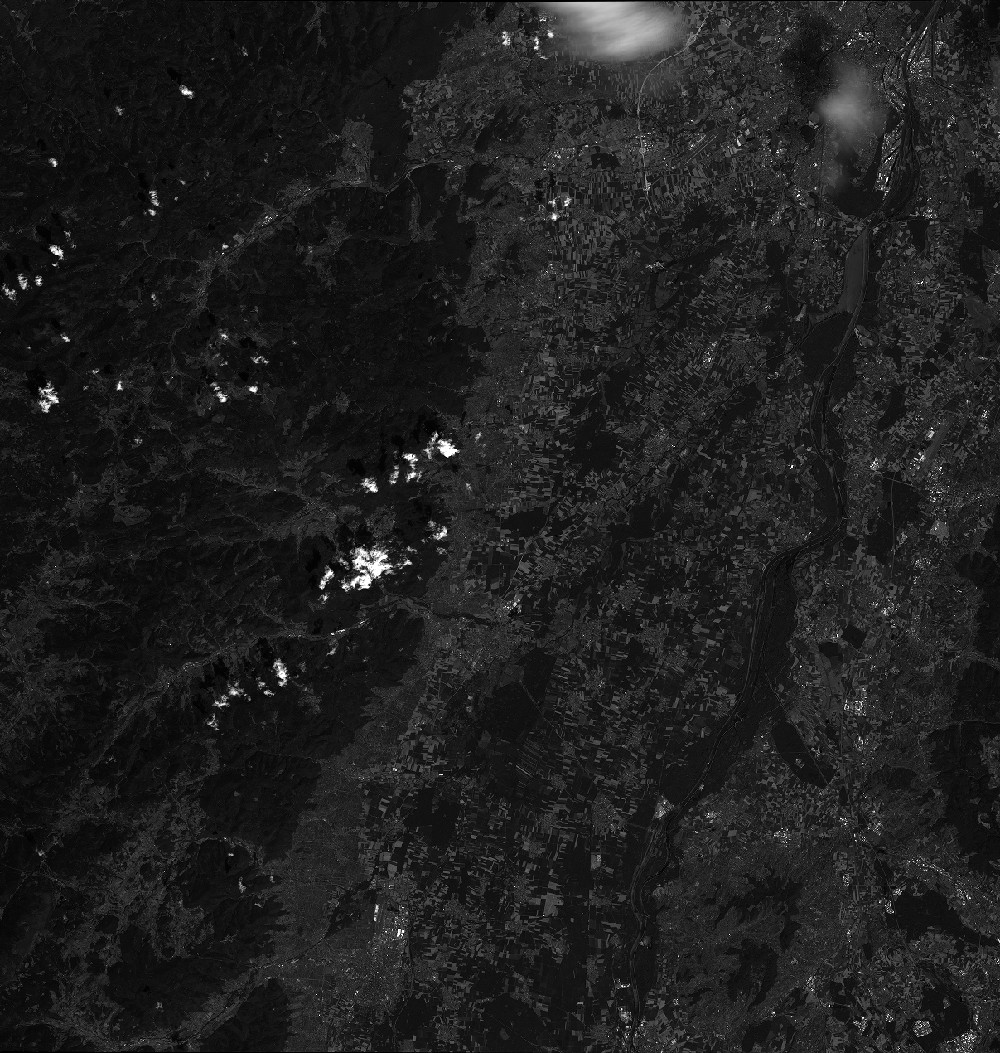
Quicklook
Copyright