TYPE:
SENSOR
LAYER:
SEN_SPOT6_20200727_101230900_000
FORMAT:
DIMAP
RASTER:
image/jp2
General Information
Map Name
Geometric Processing Level
Radiometric Processing Level
BASIC
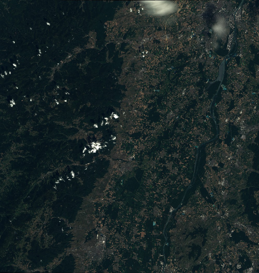
Image dimensions
Number of columns
9652
Number of rows
10159
Number of spectral bands
4
Dataset framing
Vertice
Longitude (DEG)
Latitude (DEG)
Row
Col
#1
7.0409940373
48.6305856769
1
#2
7.88092126433
48.6185144161
#3
7.87943062293
48.0225306143
#4
7.0432742236
48.0380857266
Dataset sources
SPOT
Coordinate Reference System
Projected Coordinate System
Geocoding tables identification
ITU(0.0)
Production
Production Date
2020-10-27T15:33:58.00Z
Job identification
SPOT6_20201027_1510541jokbfop90rp9_1
Dataset Producer Identification
"SRD GEOSUD / IRD, Irstea, IGN"
Producer link
http://geosud.teledetection.fr/
Quicklook
Copyright