TYPE:
SENSOR
LAYER:
DS_PHR1A_202007030637069_FR1_PX_E055S22_0816_01087
FORMAT:
DIMAP
RASTER:
image/jp2
General Information
Map Name
Geometric Processing Level
Radiometric Processing Level
BASIC
Image dimensions
Number of columns
9984
Number of rows
6005
Number of spectral bands
4
Dataset framing
Vertice
Longitude (DEG)
Latitude (DEG)
Row
Col
#1
55.51372595789235
-21.29855233768557
1
#2
55.70777626229702
-21.29824447770643
#3
55.7099194313661
-21.40592619562164
#4
55.51385694242587
-21.40728747615447
Dataset sources
PHR
Coordinate Reference System
Projected Coordinate System
Geocoding tables identification
EPSG(6.3)
Production
Production Date
2020-08-17T17:12:41.006
Job identification
5256613101-2
Dataset Producer Identification
AIRBUS DS GEO
Producer link
http://www.geo-airbusds.com
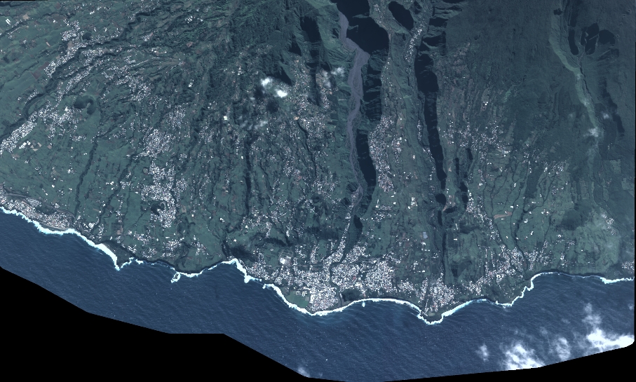
Quicklook
Copyright