TYPE:
SENSOR
LAYER:
DS_PHR1B_202006080629233_FR1_PX_E055S22_0619_01783
FORMAT:
DIMAP
RASTER:
image/jp2
General Information
Map Name
Geometric Processing Level
Radiometric Processing Level
BASIC
Image dimensions
Number of columns
38829
Number of rows
39576
Number of spectral bands
1
Dataset framing
Vertice
Longitude (DEG)
Latitude (DEG)
Row
Col
#1
55.34460447746503
-21.13328499323908
#2
55.54637900065134
-21.13524820242852
#3
55.54300367065643
-21.31770667167672
#4
55.34089279644679
-21.31708341542716
Dataset sources
PHR
Coordinate Reference System
Projected Coordinate System
Geocoding tables identification
EPSG(6.3)
Production
Production Date
2020-08-17T14:26:03.087
Job identification
5256612101-1
Dataset Producer Identification
AIRBUS DS GEO
Producer link
http://www.geo-airbusds.com
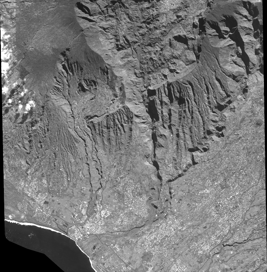
Quicklook
Copyright