TYPE:
SENSOR
LAYER:
SEN_SPOT6_20200601_060714600_000
FORMAT:
DIMAP
RASTER:
image/jp2
General Information
Map Name
Geometric Processing Level
Radiometric Processing Level
BASIC
Image dimensions
Number of columns
9650
Number of rows
5248
Number of spectral bands
4
Dataset framing
Vertice
Longitude (DEG)
Latitude (DEG)
Row
Col
#1
55.3189280142
-21.2814846898
1
#2
55.9126159771
-21.2755700378
#3
55.9133636608
-21.5792912166
#4
55.3173020924
-21.5859476421
Dataset sources
SPOT
Coordinate Reference System
Projected Coordinate System
Geocoding tables identification
ITU(0.0)
Production
Production Date
2020-06-04T16:28:46.00Z
Job identification
SPOT6_20200604_1613281whvx9eoyzkog_1
Dataset Producer Identification
"SRD GEOSUD / IRD, Irstea, IGN"
Producer link
http://geosud.teledetection.fr/
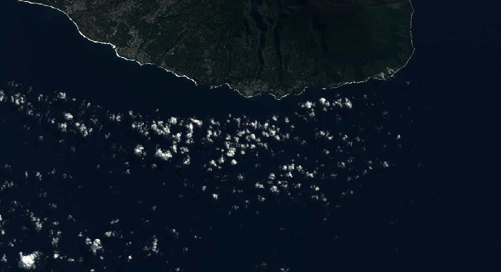
Quicklook
Copyright