TYPE:
SENSOR
LAYER:
SEN_SPOT6_20200601_060658400_000
FORMAT:
DIMAP
RASTER:
image/jp2
General Information
Map Name
Geometric Processing Level
Radiometric Processing Level
BASIC
Image dimensions
Number of columns
9652
Number of rows
9482
Number of spectral bands
4
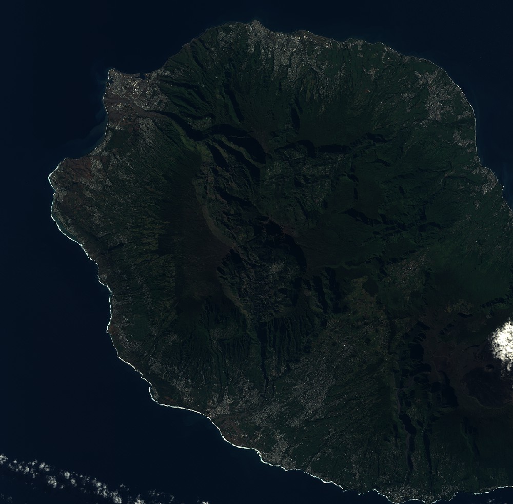
Dataset framing
Vertice
Longitude (DEG)
Latitude (DEG)
Row
Col
#1
55.160992101
-20.8498193762
1
#2
55.7428127384
-20.8508525666
#3
55.7436006749
-21.3878204628
#4
55.158614507
-21.3872649018
Dataset sources
SPOT
Coordinate Reference System
Projected Coordinate System
Geocoding tables identification
ITU(0.0)
Production
Production Date
2020-06-04T16:34:01.00Z
Job identification
SPOT6_20200604_1612011pwlbglzukrj4_1
Dataset Producer Identification
"SRD GEOSUD / IRD, Irstea, IGN"
Producer link
http://geosud.teledetection.fr/
Quicklook
Copyright