TYPE:
SENSOR
LAYER:
SEN_SPOT6_20200601_060643900_000
FORMAT:
DIMAP
RASTER:
image/jp2
General Information
Map Name
Geometric Processing Level
Radiometric Processing Level
BASIC
Image dimensions
Number of columns
9652
Number of rows
7022
Number of spectral bands
4
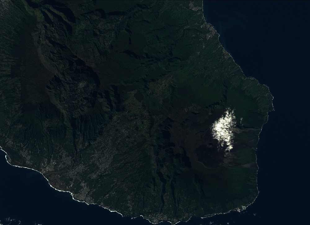
Dataset framing
Vertice
Longitude (DEG)
Latitude (DEG)
Row
Col
#1
55.3184416373
-20.9851348489
1
#2
55.9035966436
-20.9870993746
#3
55.905791023
-21.3900024421
#4
55.318193005
-21.3869566701
Dataset sources
SPOT
Coordinate Reference System
Projected Coordinate System
Geocoding tables identification
ITU(0.0)
Production
Production Date
2020-06-04T16:27:04.00Z
Job identification
SPOT6_20200604_1609441q2416gg3s6mt_1
Dataset Producer Identification
"SRD GEOSUD / IRD, Irstea, IGN"
Producer link
http://geosud.teledetection.fr/
Quicklook
Copyright