TYPE:
SENSOR
LAYER:
DS_PHR1A_202005310640264_FR1_PX_E055S22_0421_03238
FORMAT:
DIMAP
RASTER:
image/jp2
General Information
Map Name
Geometric Processing Level
Radiometric Processing Level
BASIC
Image dimensions
Number of columns
36167
Number of rows
72440
Number of spectral bands
1
Dataset framing
Vertice
Longitude (DEG)
Latitude (DEG)
Row
Col
#1
55.19717507329191
-20.97342453719359
#2
55.37437147112609
-20.97280842942623
#3
55.37645637602044
-21.30246728182793
#4
55.19665422458044
-21.30170670548192
Dataset sources
PHR
Coordinate Reference System
Projected Coordinate System
Geocoding tables identification
EPSG(6.3)
Production
Production Date
2020-08-17T17:24:13.943
Job identification
5256610101-1
Dataset Producer Identification
AIRBUS DS GEO
Producer link
http://www.geo-airbusds.com
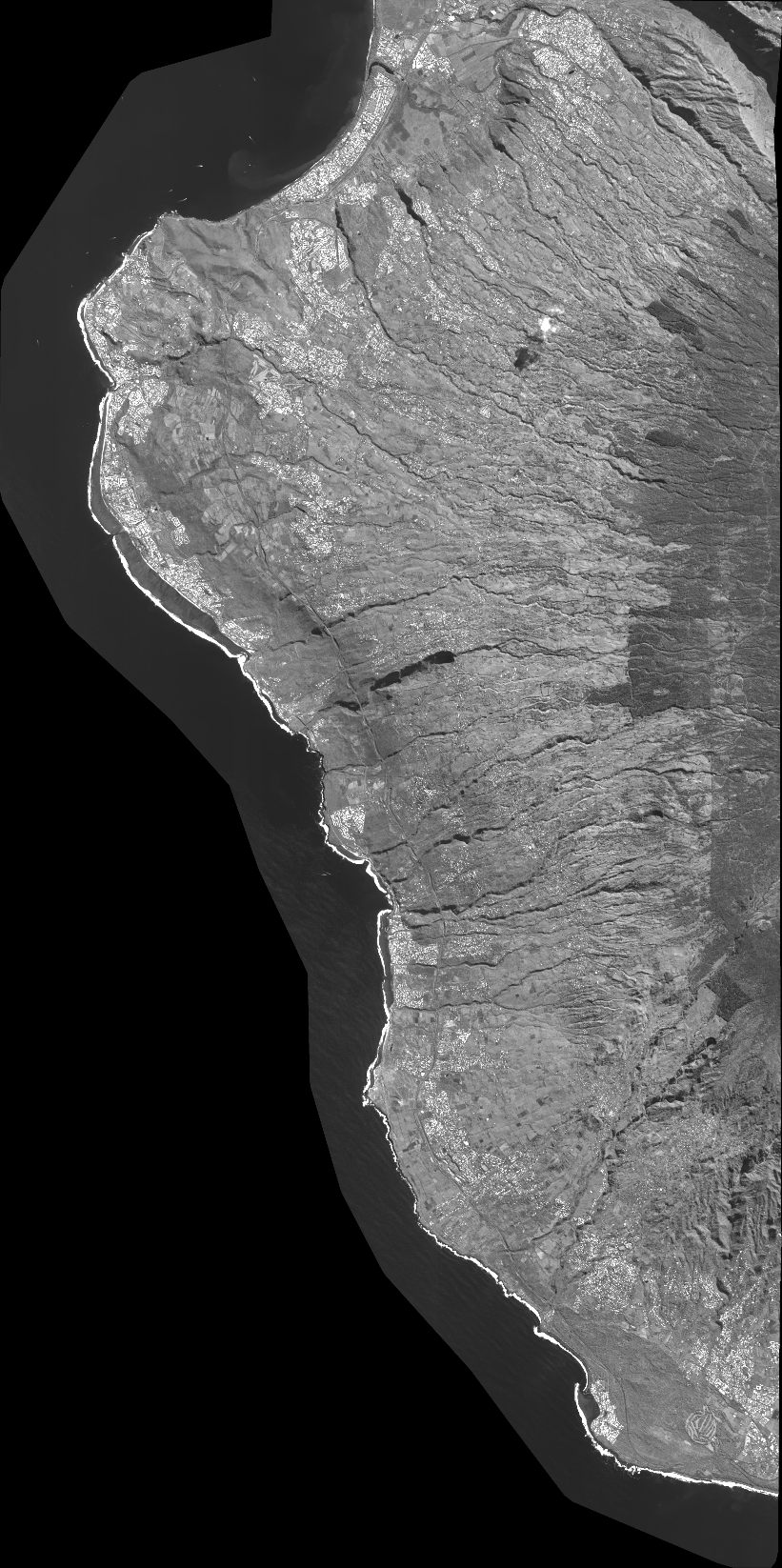
Quicklook
Copyright