TYPE:
SENSOR
LAYER:
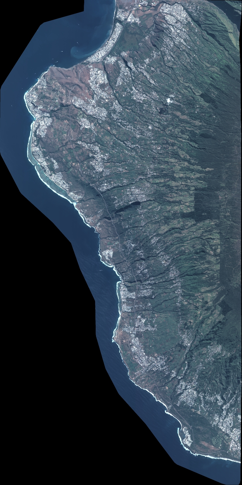
DS_PHR1A_202005310640264_FR1_PX_E055S22_0421_03238
FORMAT:
DIMAP
RASTER:
image/jp2
General Information
Map Name
Geometric Processing Level
Radiometric Processing Level
BASIC
Image dimensions
Number of columns
9042
Number of rows
18110
Number of spectral bands
4
Dataset framing
Vertice
Longitude (DEG)
Latitude (DEG)
Row
Col
#1
55.19718247068157
-20.97343130836639
1
#2
55.37437001630754
-20.97281525187569
#3
55.37645387801722
-21.3024604477286
#4
55.19666166444117
-21.30169994515913
Dataset sources
PHR
Coordinate Reference System
Projected Coordinate System
Geocoding tables identification
EPSG(6.3)
Production
Production Date
2020-08-17T17:22:10.574
Job identification
5256610101-2
Dataset Producer Identification
AIRBUS DS GEO
Producer link
http://www.geo-airbusds.com
Quicklook
Copyright