TYPE:
SENSOR
LAYER:
DS_PHR1A_202005310640095_FR1_PX_E055S22_0821_03380
FORMAT:
DIMAP
RASTER:
image/jp2
General Information
Map Name
Geometric Processing Level
Radiometric Processing Level
BASIC
Image dimensions
Number of columns
9972
Number of rows
18806
Number of spectral bands
4
Dataset framing
Vertice
Longitude (DEG)
Latitude (DEG)
Row
Col
#1
55.51115689389243
-20.96796311463235
1
#2
55.71347828521738
-20.97456501792538
#3
55.71250971159075
-21.32561343229029
#4
55.51203382057352
-21.32014993560956
Dataset sources
PHR
Coordinate Reference System
Projected Coordinate System
Geocoding tables identification
EPSG(6.3)
Production
Production Date
2020-08-17T14:36:46.362
Job identification
5256609101-2
Dataset Producer Identification
AIRBUS DS GEO
Producer link
http://www.geo-airbusds.com
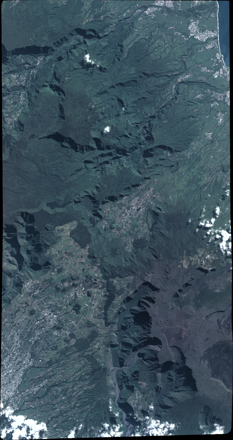
Quicklook
Copyright