TYPE:
SENSOR
LAYER:
DS_PHR1B_202004170629007_FR1_PX_E055S21_0402_01169
FORMAT:
DIMAP
RASTER:
image/jp2
General Information
Map Name
Geometric Processing Level
Radiometric Processing Level
BASIC
Image dimensions
Number of columns
26128
Number of rows
25752
Number of spectral bands
1
Dataset framing
Vertice
Longitude (DEG)
Latitude (DEG)
Row
Col
#1
55.23721345114063
-20.87100931504006
#2
55.37525145958323
-20.87067686688047
#3
55.37671275966396
-20.99089702775038
#4
55.23732792435722
-20.99202468599823
Dataset sources
PHR
Coordinate Reference System
Projected Coordinate System
Geocoding tables identification
EPSG(6.3)
Production
Production Date
2020-08-17T17:07:16.021
Job identification
5256608101-1
Dataset Producer Identification
AIRBUS DS GEO
Producer link
http://www.geo-airbusds.com
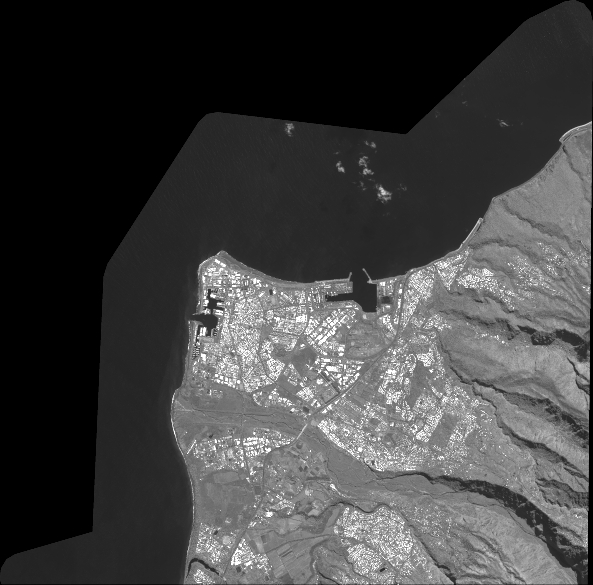
Quicklook
Copyright