TYPE:
SENSOR
LAYER:
DS_PHR1B_202004170629007_FR1_PX_E055S21_0402_01169
FORMAT:
DIMAP
RASTER:
image/jp2
General Information
Map Name
Geometric Processing Level
Radiometric Processing Level
BASIC
Image dimensions
Number of columns
6533
Number of rows
6438
Number of spectral bands
4
Dataset framing
Vertice
Longitude (DEG)
Latitude (DEG)
Row
Col
#1
55.23722142629786
-20.87101634000517
1
#2
55.37526455655539
-20.8706838287721
#3
55.3767316772274
-20.99088961723215
#4
55.23733586514114
-20.99201758576566
Dataset sources
PHR
Coordinate Reference System
Projected Coordinate System
Geocoding tables identification
EPSG(6.3)
Production
Production Date
2020-08-17T17:06:43.626
Job identification
5256608101-2
Dataset Producer Identification
AIRBUS DS GEO
Producer link
http://www.geo-airbusds.com
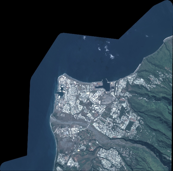
Quicklook
Copyright