TYPE:
SENSOR
LAYER:
DS_PHR1A_202004160636243_FR1_PX_E055S21_0603_00928
FORMAT:
DIMAP
RASTER:
image/jp2
General Information
Map Name
Geometric Processing Level
Radiometric Processing Level
BASIC
Image dimensions
Number of columns
37279
Number of rows
20305
Number of spectral bands
1
Dataset framing
Vertice
Longitude (DEG)
Latitude (DEG)
Row
Col
#1
55.36003871598383
-21.29249617717066
#2
55.54066584406286
-21.29252314607347
#3
55.54099918536204
-21.3843350490311
#4
55.35994276425399
-21.38387601642854
Dataset sources
PHR
Coordinate Reference System
Projected Coordinate System
Geocoding tables identification
EPSG(6.3)
Production
Production Date
2020-08-17T17:02:52.823
Job identification
5256606101-1
Dataset Producer Identification
AIRBUS DS GEO
Producer link
http://www.geo-airbusds.com
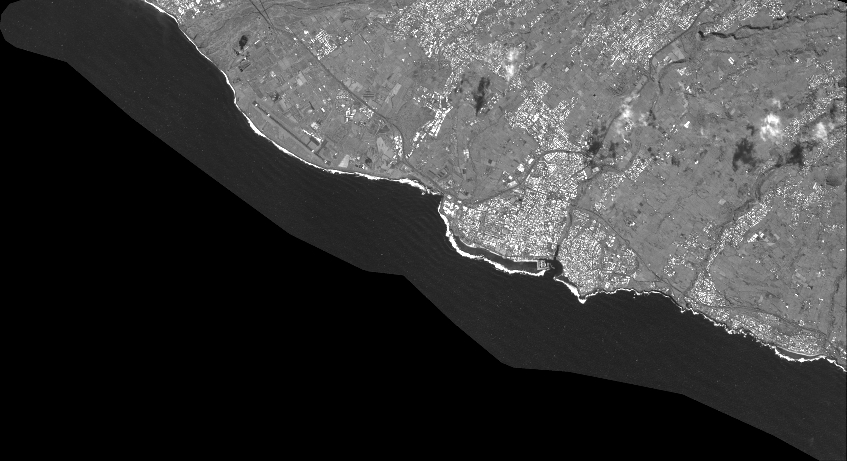
Quicklook
Copyright