TYPE:
SENSOR
LAYER:
DS_PHR1A_202004160635583_FR1_PX_E055S21_0802_01347
FORMAT:
DIMAP
RASTER:
image/jp2
General Information
Map Name
Geometric Processing Level
Radiometric Processing Level
BASIC
Image dimensions
Number of columns
39772
Number of rows
29751
Number of spectral bands
1
Dataset framing
Vertice
Longitude (DEG)
Latitude (DEG)
Row
Col
#1
55.51288126561865
-20.85667568561972
#2
55.71034016746152
-20.85690571811223
#3
55.71031203478276
-20.99874709025528
#4
55.51284384977613
-20.99492800224531
Dataset sources
PHR
Coordinate Reference System
Projected Coordinate System
Geocoding tables identification
EPSG(6.3)
Production
Production Date
2020-08-17T16:54:21.826
Job identification
5256604101-1
Dataset Producer Identification
AIRBUS DS GEO
Producer link
http://www.geo-airbusds.com
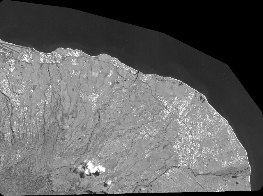
Quicklook
Copyright