TYPE:
SENSOR
LAYER:
DS_PHR1A_202004160635583_FR1_PX_E055S21_0802_01347
FORMAT:
DIMAP
RASTER:
image/jp2
General Information
Map Name
Geometric Processing Level
Radiometric Processing Level
BASIC
Image dimensions
Number of columns
9944
Number of rows
7438
Number of spectral bands
4
Dataset framing
Vertice
Longitude (DEG)
Latitude (DEG)
Row
Col
#1
55.5128887047092
-20.85667807502476
1
#2
55.7103525789738
-20.85690811149493
#3
55.71032447346464
-20.99873994986672
#4
55.51285128495069
-20.99492121489131
Dataset sources
PHR
Coordinate Reference System
Projected Coordinate System
Geocoding tables identification
EPSG(6.3)
Production
Production Date
2020-08-17T16:52:45.169
Job identification
5256604101-2
Dataset Producer Identification
AIRBUS DS GEO
Producer link
http://www.geo-airbusds.com
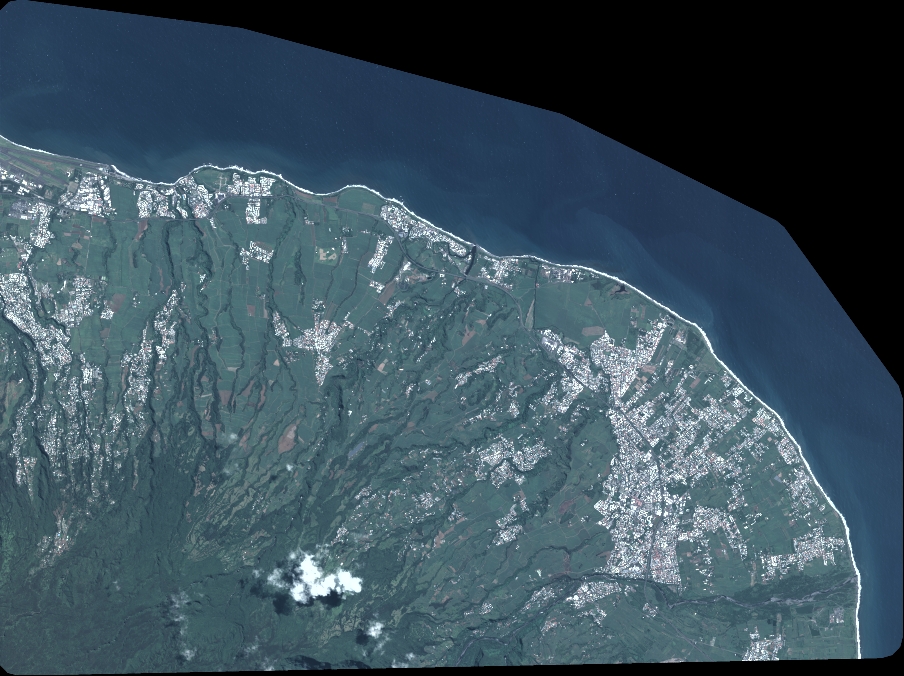
Quicklook
Copyright