TYPE:
SENSOR
LAYER:
DS_PHR1A_202004160636535_FR1_PX_E055S22_1024_02348
FORMAT:
DIMAP
RASTER:
image/jp2
General Information
Map Name
Geometric Processing Level
Radiometric Processing Level
BASIC
Image dimensions
Number of columns
8856
Number of rows
12957
Number of spectral bands
4
Dataset framing
Vertice
Longitude (DEG)
Latitude (DEG)
Row
Col
#1
55.67939235762343
-20.90834965062082
1
#2
55.86159746935526
-20.89925393249623
#3
55.86273841967207
-21.15661125951756
#4
55.67763509438316
-21.16955657131361
Dataset sources
PHR
Coordinate Reference System
Projected Coordinate System
Geocoding tables identification
EPSG(6.3)
Production
Production Date
2020-08-17T14:26:09.682
Job identification
5256603101-2
Dataset Producer Identification
AIRBUS DS GEO
Producer link
http://www.geo-airbusds.com
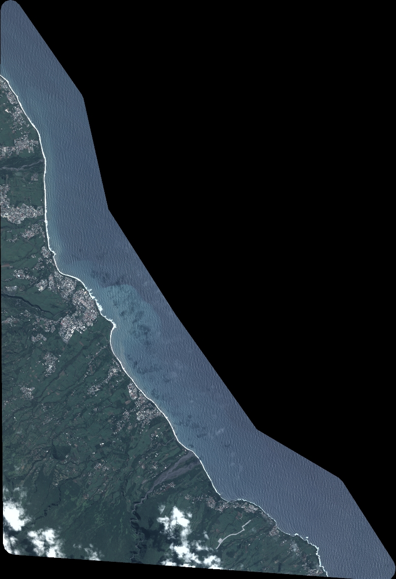
Quicklook
Copyright