TYPE:
SENSOR
LAYER:
DS_PHR1B_202003191039301_FR1_PX_E007N48_1015_01791
FORMAT:
DIMAP
RASTER:
image/jp2
General Information
Map Name
Geometric Processing Level
Radiometric Processing Level
BASIC
Image dimensions
Number of columns
39586
Number of rows
39756
Number of spectral bands
1
Dataset framing
Vertice
Longitude (DEG)
Latitude (DEG)
Row
Col
#1
7.6313651909699
48.70589668125896
#2
7.902568532325216
48.70623873422823
#3
7.902208868739617
48.52806135379956
#4
7.63164995492073
48.52815149268972
Dataset sources
PHR
Coordinate Reference System
Projected Coordinate System
Geocoding tables identification
EPSG(6.3)
Production
Production Date
2020-03-23T08:27:04.460
Job identification
4872046101-001
Dataset Producer Identification
AIRBUS DS GEO
Producer link
http://www.geo-airbusds.com
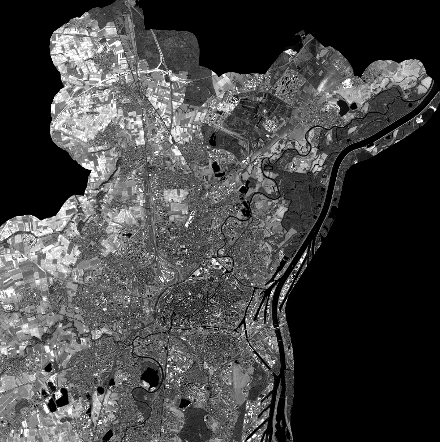
Quicklook
Copyright