TYPE:
SENSOR
LAYER:
DS_PHR1B_202003191039301_FR1_PX_E007N48_1015_01791
FORMAT:
DIMAP
RASTER:
image/jp2
General Information
Map Name
Geometric Processing Level
Radiometric Processing Level
BASIC
Image dimensions
Number of columns
9897
Number of rows
9939
Number of spectral bands
4
Dataset framing
Vertice
Longitude (DEG)
Latitude (DEG)
Row
Col
#1
7.631375493993519
48.70588999578743
1
#2
7.902571986708583
48.70623201795613
#3
7.902212329211846
48.52806805787542
#4
7.631660219022105
48.52815818518324
Dataset sources
PHR
Coordinate Reference System
Projected Coordinate System
Geocoding tables identification
EPSG(6.3)
Production
Production Date
2020-03-23T08:27:01.724
Job identification
4872046101-002
Dataset Producer Identification
AIRBUS DS GEO
Producer link
http://www.geo-airbusds.com
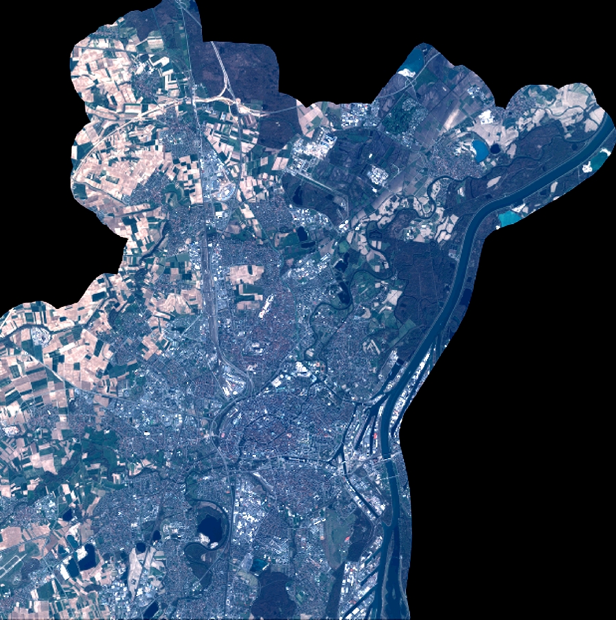
Quicklook
Copyright