TYPE:
SENSOR
LAYER:
DS_PHR1A_202002211047080_FR1_PX_E007N48_0913_01630
FORMAT:
DIMAP
RASTER:
image/jp2
General Information
Map Name
Geometric Processing Level
Radiometric Processing Level
BASIC
Image dimensions
Number of columns
37393
Number of rows
36244
Number of spectral bands
1
Dataset framing
Vertice
Longitude (DEG)
Latitude (DEG)
Row
Col
#1
7.531777010343604
48.60095873964924
#2
7.811043578987078
48.60539736536756
#3
7.811525279230995
48.43504796499104
#4
7.532098553789742
48.43210182240087
Dataset sources
PHR
Coordinate Reference System
Projected Coordinate System
Geocoding tables identification
EPSG(6.3)
Production
Production Date
2020-03-11T13:54:48.295
Job identification
4849248101-001
Dataset Producer Identification
AIRBUS DS GEO
Producer link
http://www.geo-airbusds.com
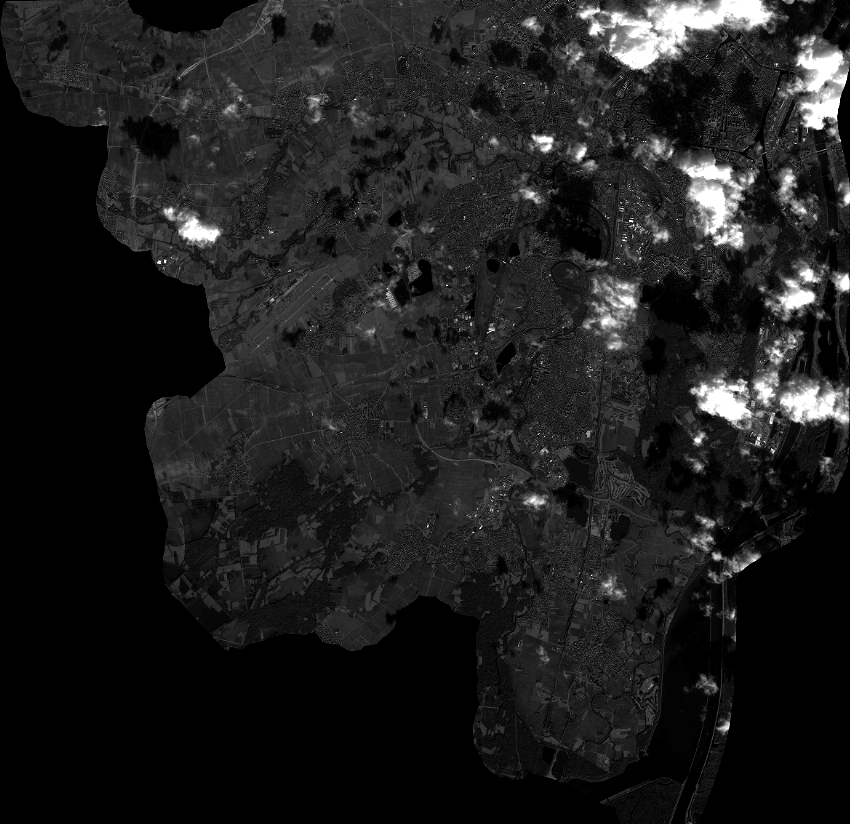
Quicklook
Copyright