TYPE:
SENSOR
LAYER:
DS_PHR1A_202002211047080_FR1_PX_E007N48_0913_01630
FORMAT:
DIMAP
RASTER:
image/jp2
General Information
Map Name
Geometric Processing Level
Radiometric Processing Level
BASIC
Image dimensions
Number of columns
9349
Number of rows
9061
Number of spectral bands
4
Dataset framing
Vertice
Longitude (DEG)
Latitude (DEG)
Row
Col
#1
7.53178089143097
48.60095185264507
1
#2
7.811047354629563
48.60539037829946
#3
7.811529014309805
48.43505504476235
#4
7.532102238699003
48.43210885568636
Dataset sources
PHR
Coordinate Reference System
Projected Coordinate System
Geocoding tables identification
EPSG(6.3)
Production
Production Date
2020-03-11T13:54:56.830
Job identification
4849248101-002
Dataset Producer Identification
AIRBUS DS GEO
Producer link
http://www.geo-airbusds.com
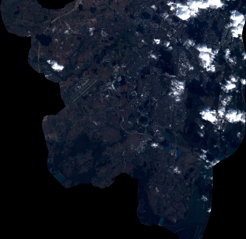
Quicklook
Copyright