TYPE:
SENSOR
LAYER:
SEN_SPOT7_20191107_103711800_000
FORMAT:
DIMAP
RASTER:
image/jp2
General Information
Map Name
Geometric Processing Level
Radiometric Processing Level
BASIC
Image dimensions
Number of columns
9619
Number of rows
9684
Number of spectral bands
4
Dataset framing
Vertice
Longitude (DEG)
Latitude (DEG)
Row
Col
#1
-2.04364004022
48.6430408482
1
#2
-1.18536192422
48.6198782522
#3
-1.19322388793
48.0454505554
#4
-2.03468412299
48.0650711126
Dataset sources
SPOT
Coordinate Reference System
Projected Coordinate System
Geocoding tables identification
ITU(0.0)
Production
Production Date
2019-11-28T12:00:28.00Z
Job identification
SPOT7_20191128_1134421v0jtzfjr035e_1
Dataset Producer Identification
"SRD GEOSUD / IRD, Irstea, IGN"
Producer link
http://geosud.teledetection.fr/
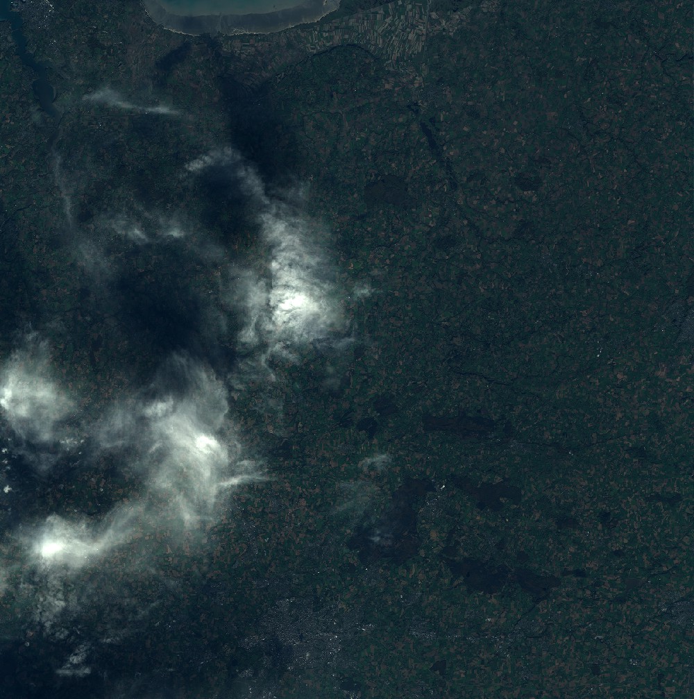
Quicklook
Copyright