TYPE:
SENSOR
LAYER:
DS_PHR1A_201911071103039_FR1_PX_W002N48_0612_01816
FORMAT:
DIMAP
RASTER:
image/jp2
General Information
Map Name
Geometric Processing Level
Radiometric Processing Level
BASIC
Image dimensions
Number of columns
37563
Number of rows
40421
Number of spectral bands
1
Dataset framing
Vertice
Longitude (DEG)
Latitude (DEG)
Row
Col
#1
-1.716645800355666
48.59863877836082
#2
-1.436764457934966
48.58913072017708
#3
-1.437478473945498
48.39788955903892
#4
-1.715259773669738
48.40589572843043
Dataset sources
PHR
Coordinate Reference System
Projected Coordinate System
Geocoding tables identification
EPSG(6.3)
Production
Production Date
2019-11-12T10:09:41.722
Job identification
4606567101-001
Dataset Producer Identification
AIRBUS DS GEO
Producer link
http://www.geo-airbusds.com
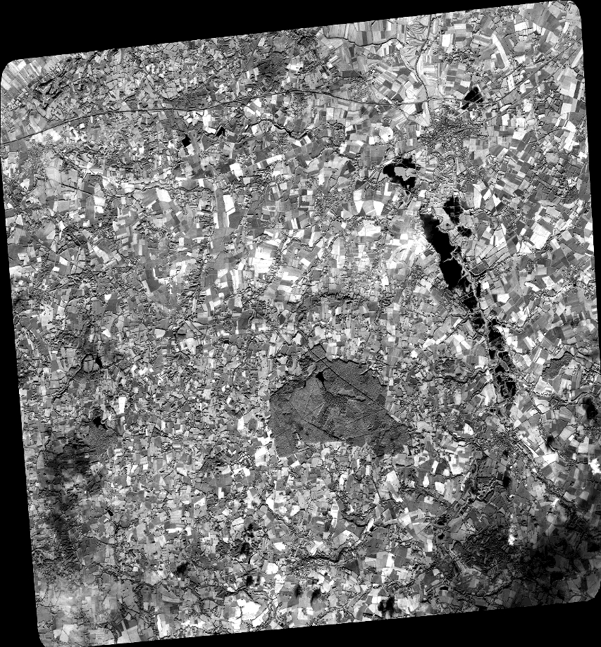
Quicklook
Copyright