TYPE:
SENSOR
LAYER:
DS_PHR1A_201910161033436_FR1_PX_E006N45_0808_01340
FORMAT:
DIMAP
RASTER:
image/jp2
General Information
Map Name
Geometric Processing Level
Radiometric Processing Level
BASIC
Image dimensions
Number of columns
4220
Number of rows
7366
Number of spectral bands
4
Dataset framing
Vertice
Longitude (DEG)
Latitude (DEG)
Row
Col
#1
6.586452043670857
45.36617685020276
1
#2
6.697047136199424
45.36433091445659
#3
6.696783953295589
45.22760999516042
#4
6.587053360294215
45.22834240612315
Dataset sources
PHR
Coordinate Reference System
Projected Coordinate System
Geocoding tables identification
EPSG(6.3)
Production
Production Date
2019-10-17T14:32:35.924
Job identification
4565100101-004
Dataset Producer Identification
AIRBUS DS GEO
Producer link
http://www.geo-airbusds.com
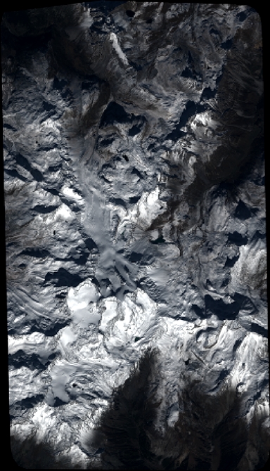
Quicklook
Copyright