TYPE:
SENSOR
LAYER:
DS_PHR1A_201910161033083_FR1_PX_E006N45_0808_01348
FORMAT:
DIMAP
RASTER:
image/jp2
General Information
Map Name
Geometric Processing Level
Radiometric Processing Level
BASIC
Image dimensions
Number of columns
4154
Number of rows
7446
Number of spectral bands
4
Dataset framing
Vertice
Longitude (DEG)
Latitude (DEG)
Row
Col
#1
6.586351233378609
45.36202056222089
1
#2
6.696737391568905
45.36420835043513
#3
6.696314945320704
45.22746391318722
#4
6.587292807319203
45.22562959208217
Dataset sources
PHR
Coordinate Reference System
Projected Coordinate System
Geocoding tables identification
EPSG(6.3)
Production
Production Date
2019-10-17T14:32:42.473
Job identification
4565100101-003
Dataset Producer Identification
AIRBUS DS GEO
Producer link
http://www.geo-airbusds.com
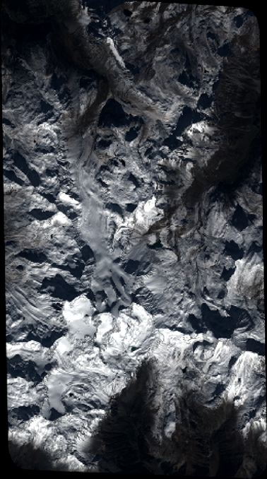
Quicklook
Copyright