TYPE:
SENSOR
LAYER:
DS_PHR1B_201910101029464_FR1_PX_E006N44_0523_01416
FORMAT:
DIMAP
RASTER:
image/jp2
General Information
Map Name
Geometric Processing Level
Radiometric Processing Level
BASIC
Image dimensions
Number of columns
27590
Number of rows
31044
Number of spectral bands
1
Dataset framing
Vertice
Longitude (DEG)
Latitude (DEG)
Row
Col
#1
6.295685432350084
45.0171208887049
#2
6.481156519629434
45.0112586247478
#3
6.479390243481787
44.86517362104538
#4
6.29738147532542
44.8683392898373
Dataset sources
PHR
Coordinate Reference System
Projected Coordinate System
Geocoding tables identification
EPSG(6.3)
Production
Production Date
2019-10-11T12:06:56.734
Job identification
4555837101-002
Dataset Producer Identification
AIRBUS DS GEO
Producer link
http://www.geo-airbusds.com
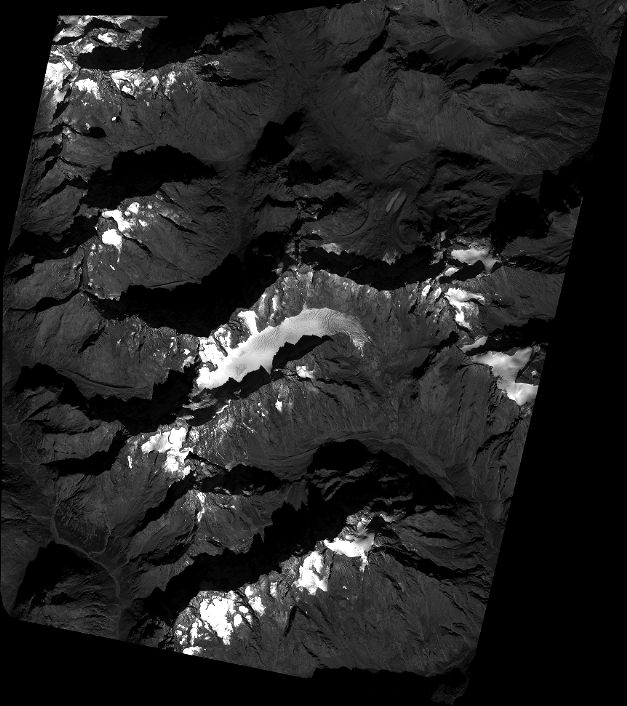
Quicklook
Copyright