TYPE:
SENSOR
LAYER:
DS_PHR1B_201910101029464_FR1_PX_E006N44_0523_01416
FORMAT:
DIMAP
RASTER:
image/jp2
General Information
Map Name
Geometric Processing Level
Radiometric Processing Level
BASIC
Image dimensions
Number of columns
6898
Number of rows
7762
Number of spectral bands
4
Dataset framing
Vertice
Longitude (DEG)
Latitude (DEG)
Row
Col
#1
6.29569883094313
45.0171109894624
1
#2
6.481159242218007
45.01125190820751
#3
6.479394635423645
44.86516082036153
#4
6.297390741206955
44.86832778383185
Dataset sources
PHR
Coordinate Reference System
Projected Coordinate System
Geocoding tables identification
EPSG(6.3)
Production
Production Date
2019-10-11T12:07:47.818
Job identification
4555837101-004
Dataset Producer Identification
AIRBUS DS GEO
Producer link
http://www.geo-airbusds.com
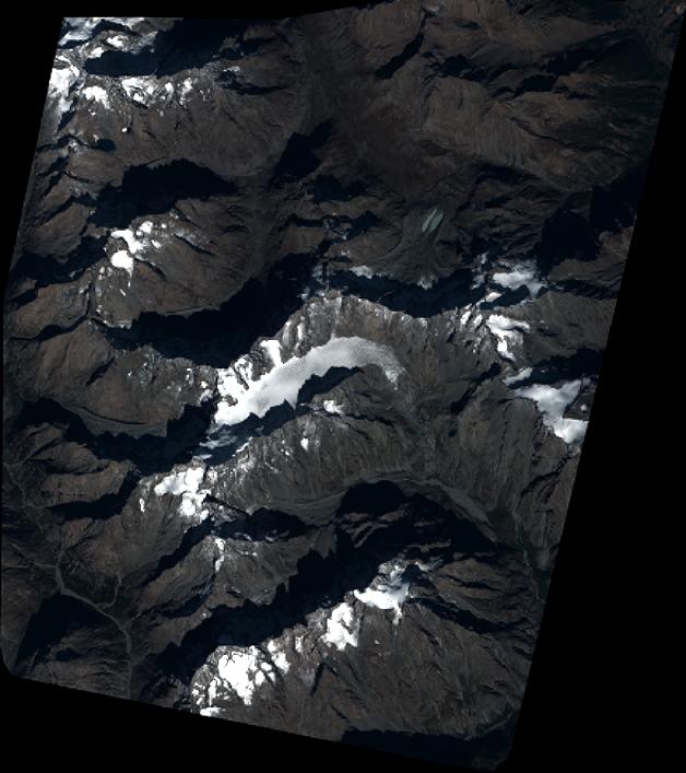
Quicklook
Copyright