TYPE:
SENSOR
LAYER:
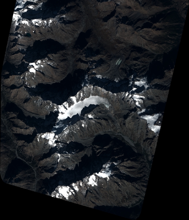
DS_PHR1B_201910101029139_FR1_PX_E006N44_0523_01436
FORMAT:
DIMAP
RASTER:
image/jp2
General Information
Map Name
Geometric Processing Level
Radiometric Processing Level
BASIC
Image dimensions
Number of columns
6790
Number of rows
7889
Number of spectral bands
4
Dataset framing
Vertice
Longitude (DEG)
Latitude (DEG)
Row
Col
#1
6.298377452617482
45.0102364697634
1
#2
6.481572276420255
45.01286632636102
#3
6.478919394893979
44.86576110746253
#4
6.296904170895659
44.862438728165
Dataset sources
PHR
Coordinate Reference System
Projected Coordinate System
Geocoding tables identification
EPSG(6.3)
Production
Production Date
2019-10-11T12:07:04.953
Job identification
4555837101-003
Dataset Producer Identification
AIRBUS DS GEO
Producer link
http://www.geo-airbusds.com
Quicklook
Copyright