TYPE:
SENSOR
LAYER:
DS_PHR1B_201910081044466_FR1_PX_E006N45_0203_01713
FORMAT:
DIMAP
RASTER:
image/jp2
General Information
Map Name
Geometric Processing Level
Radiometric Processing Level
BASIC
Image dimensions
Number of columns
26554
Number of rows
37542
Number of spectral bands
1
Dataset framing
Vertice
Longitude (DEG)
Latitude (DEG)
Row
Col
#1
6.030565724996275
45.19247857477072
#2
6.206351624507347
45.19585498668094
#3
6.204386037924194
45.02135152455492
#4
6.029879775928379
45.01915166913403
Dataset sources
PHR
Coordinate Reference System
Projected Coordinate System
Geocoding tables identification
EPSG(6.3)
Production
Production Date
2019-10-10T09:35:12.724
Job identification
4553798101-002
Dataset Producer Identification
AIRBUS DS GEO
Producer link
http://www.geo-airbusds.com
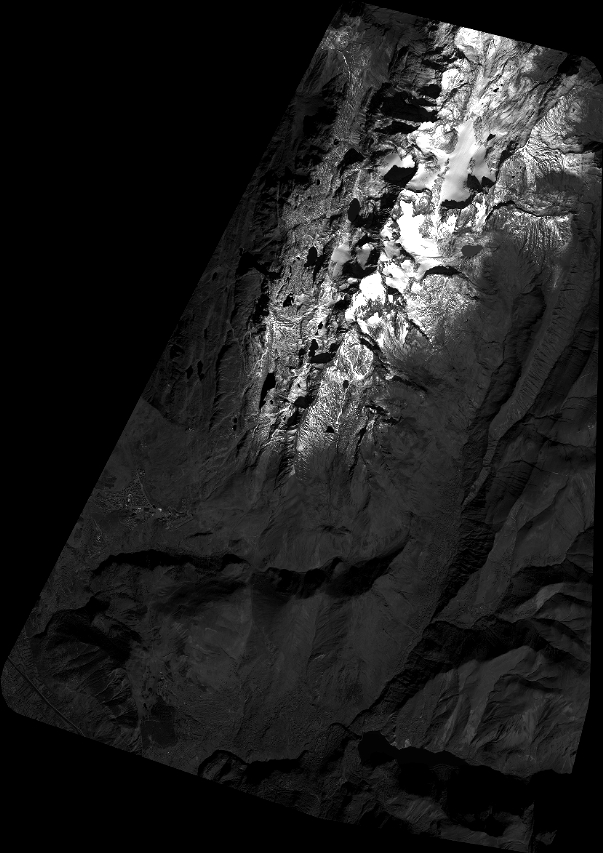
Quicklook
Copyright