TYPE:
SENSOR
LAYER:
DS_PHR1B_201910081044153_FR1_PX_E006N45_0203_01691
FORMAT:
DIMAP
RASTER:
image/jp2
General Information
Map Name
Geometric Processing Level
Radiometric Processing Level
BASIC
Image dimensions
Number of columns
26829
Number of rows
37211
Number of spectral bands
1
Dataset framing
Vertice
Longitude (DEG)
Latitude (DEG)
Row
Col
#1
6.031450893129246
45.19499650425962
#2
6.206263527672491
45.19296618749505
#3
6.204960866180412
45.02204694264777
#4
6.031164148655597
45.02375566926949
Dataset sources
PHR
Coordinate Reference System
Projected Coordinate System
Geocoding tables identification
EPSG(6.3)
Production
Production Date
2019-10-10T09:35:03.981
Job identification
4553798101-001
Dataset Producer Identification
AIRBUS DS GEO
Producer link
http://www.geo-airbusds.com
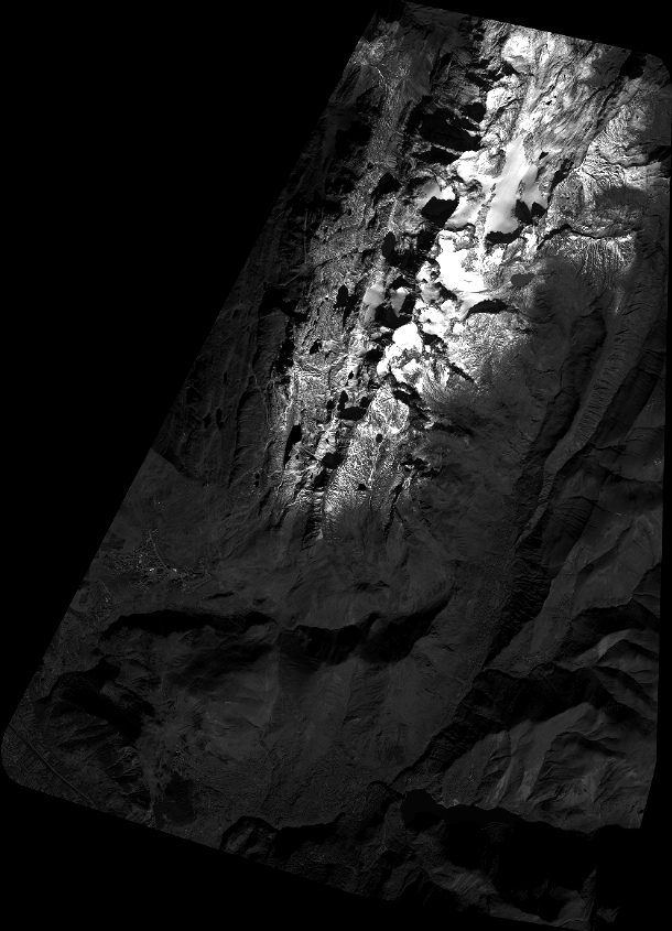
Quicklook
Copyright