TYPE:
SENSOR
LAYER:
DS_PHR1B_201910081044466_FR1_PX_E006N45_0203_01713
FORMAT:
DIMAP
RASTER:
image/jp2
General Information
Map Name
Geometric Processing Level
Radiometric Processing Level
BASIC
Image dimensions
Number of columns
6639
Number of rows
9387
Number of spectral bands
4
Dataset framing
Vertice
Longitude (DEG)
Latitude (DEG)
Row
Col
#1
6.030576732036443
45.19247707103985
1
#2
6.20635508117291
45.1958528247544
#3
6.204385346018955
45.02133360283412
#4
6.029892253162427
45.01913702374635
Dataset sources
PHR
Coordinate Reference System
Projected Coordinate System
Geocoding tables identification
EPSG(6.3)
Production
Production Date
2019-10-10T09:35:08.409
Job identification
4553798101-004
Dataset Producer Identification
AIRBUS DS GEO
Producer link
http://www.geo-airbusds.com
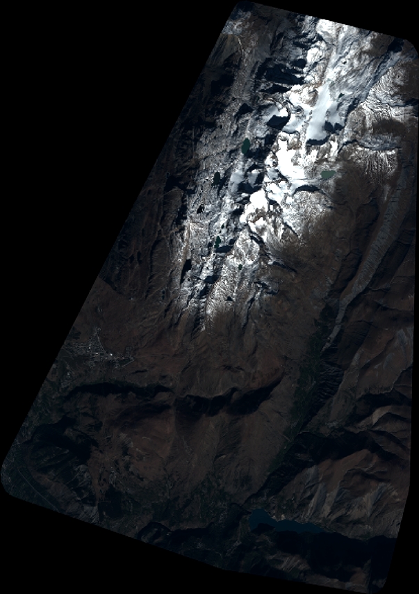
Quicklook
Copyright