TYPE:
SENSOR
LAYER:
DS_PHR1B_201910081044153_FR1_PX_E006N45_0203_01691
FORMAT:
DIMAP
RASTER:
image/jp2
General Information
Map Name
Geometric Processing Level
Radiometric Processing Level
BASIC
Image dimensions
Number of columns
6708
Number of rows
9303
Number of spectral bands
4
Dataset framing
Vertice
Longitude (DEG)
Latitude (DEG)
Row
Col
#1
6.031461632609003
45.19498824898643
1
#2
6.20627385109153
45.192958560972
#3
6.204971800660128
45.02204797204938
#4
6.031174387632956
45.02375727680684
Dataset sources
PHR
Coordinate Reference System
Projected Coordinate System
Geocoding tables identification
EPSG(6.3)
Production
Production Date
2019-10-10T09:35:09.378
Job identification
4553798101-003
Dataset Producer Identification
AIRBUS DS GEO
Producer link
http://www.geo-airbusds.com
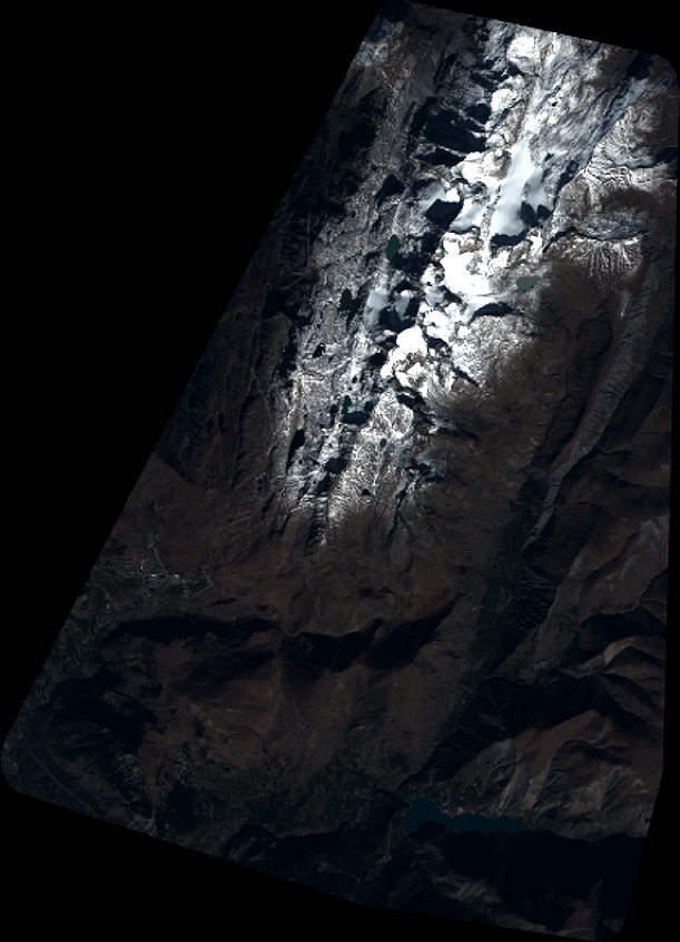
Quicklook
Copyright