TYPE:
SENSOR
LAYER:
DS_PHR1B_201910081044380_FR1_PX_E006N45_1110_01369
FORMAT:
DIMAP
RASTER:
image/jp2
General Information
Map Name
Geometric Processing Level
Radiometric Processing Level
BASIC
Image dimensions
Number of columns
23226
Number of rows
30091
Number of spectral bands
1
Dataset framing
Vertice
Longitude (DEG)
Latitude (DEG)
Row
Col
#1
6.775009293638566
45.4527825407307
#2
6.93109802482298
45.45510093463241
#3
6.930862104931562
45.31546939869947
#4
6.771023486389407
45.3128219245445
Dataset sources
PHR
Coordinate Reference System
Projected Coordinate System
Geocoding tables identification
EPSG(6.3)
Production
Production Date
2019-10-10T09:33:39.497
Job identification
4553797101-002
Dataset Producer Identification
AIRBUS DS GEO
Producer link
http://www.geo-airbusds.com
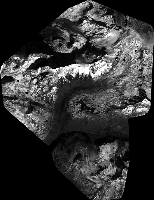
Quicklook
Copyright