TYPE:
SENSOR
LAYER:
DS_PHR1B_201910081044058_FR1_PX_E006N45_1110_01348
FORMAT:
DIMAP
RASTER:
image/jp2
General Information
Map Name
Geometric Processing Level
Radiometric Processing Level
BASIC
Image dimensions
Number of columns
23592
Number of rows
29470
Number of spectral bands
1
Dataset framing
Vertice
Longitude (DEG)
Latitude (DEG)
Row
Col
#1
6.773960084315143
45.45411983487009
#2
6.930803165292875
45.45153239446329
#3
6.931284885117352
45.31094660132517
#4
6.771603888407213
45.3167647490938
Dataset sources
PHR
Coordinate Reference System
Projected Coordinate System
Geocoding tables identification
EPSG(6.3)
Production
Production Date
2019-10-10T09:33:20.905
Job identification
4553797101-001
Dataset Producer Identification
AIRBUS DS GEO
Producer link
http://www.geo-airbusds.com
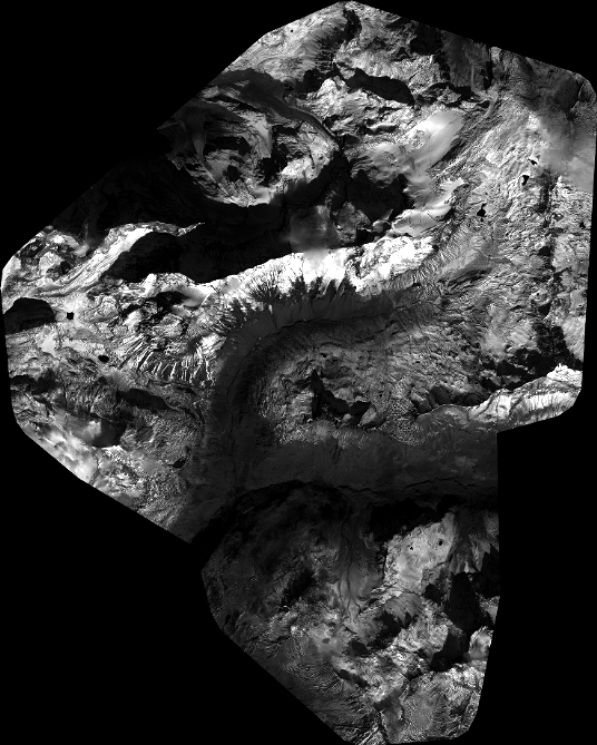
Quicklook
Copyright