TYPE:
SENSOR
LAYER:
DS_PHR1B_201910081044380_FR1_PX_E006N45_1110_01369
FORMAT:
DIMAP
RASTER:
image/jp2
General Information
Map Name
Geometric Processing Level
Radiometric Processing Level
BASIC
Image dimensions
Number of columns
5807
Number of rows
7523
Number of spectral bands
4
Dataset framing
Vertice
Longitude (DEG)
Latitude (DEG)
Row
Col
#1
6.775020606924933
45.45277148441565
1
#2
6.931100747550765
45.45508922817322
#3
6.930865474847377
45.31546710843658
#4
6.77103447886209
45.31281997288014
Dataset sources
PHR
Coordinate Reference System
Projected Coordinate System
Geocoding tables identification
EPSG(6.3)
Production
Production Date
2019-10-10T09:33:58.926
Job identification
4553797101-004
Dataset Producer Identification
AIRBUS DS GEO
Producer link
http://www.geo-airbusds.com
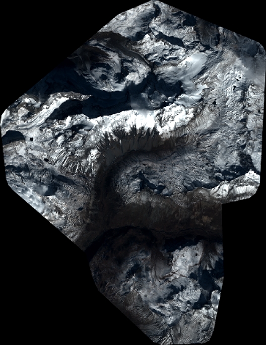
Quicklook
Copyright