TYPE:
SENSOR
LAYER:
DS_PHR1B_201910081044058_FR1_PX_E006N45_1110_01348
FORMAT:
DIMAP
RASTER:
image/jp2
General Information
Map Name
Geometric Processing Level
Radiometric Processing Level
BASIC
Image dimensions
Number of columns
5899
Number of rows
7369
Number of spectral bands
4
Dataset framing
Vertice
Longitude (DEG)
Latitude (DEG)
Row
Col
#1
6.773969312628848
45.4541227462046
1
#2
6.930820485341172
45.45153384814821
#3
6.931304203795835
45.31093199012512
#4
6.771613883925101
45.31675262669668
Dataset sources
PHR
Coordinate Reference System
Projected Coordinate System
Geocoding tables identification
EPSG(6.3)
Production
Production Date
2019-10-10T09:33:41.630
Job identification
4553797101-003
Dataset Producer Identification
AIRBUS DS GEO
Producer link
http://www.geo-airbusds.com
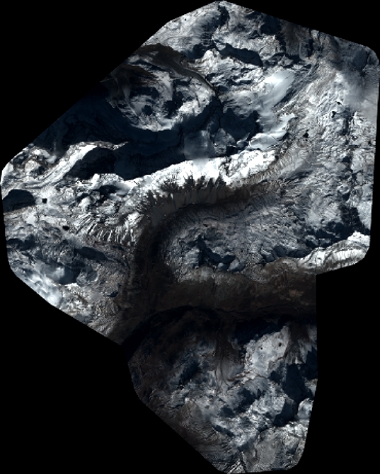
Quicklook
Copyright