TYPE:
SENSOR
LAYER:
DS_PHR1B_201910081044312_FR1_PX_E006N45_1120_01198
FORMAT:
DIMAP
RASTER:
image/jp2
General Information
Map Name
Geometric Processing Level
Radiometric Processing Level
BASIC
Image dimensions
Number of columns
38512
Number of rows
25931
Number of spectral bands
1
Dataset framing
Vertice
Longitude (DEG)
Latitude (DEG)
Row
Col
#1
6.734446040777107
45.86692649938097
#2
6.992278312823451
45.87011988724677
#3
6.996467584899158
45.75122079276429
#4
6.731020380034184
45.7468123147848
Dataset sources
PHR
Coordinate Reference System
Projected Coordinate System
Geocoding tables identification
EPSG(6.3)
Production
Production Date
2019-10-10T09:32:33.905
Job identification
4553773101-002
Dataset Producer Identification
AIRBUS DS GEO
Producer link
http://www.geo-airbusds.com
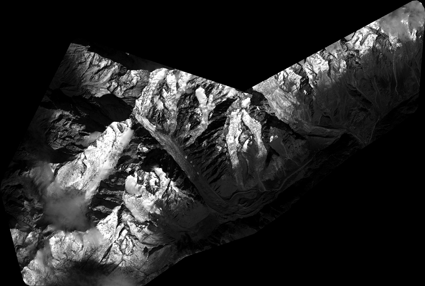
Quicklook
Copyright