TYPE:
SENSOR
LAYER:
DS_PHR1B_201910081044312_FR1_PX_E006N45_1120_01198
FORMAT:
DIMAP
RASTER:
image/jp2
General Information
Map Name
Geometric Processing Level
Radiometric Processing Level
BASIC
Image dimensions
Number of columns
9629
Number of rows
6483
Number of spectral bands
4
Dataset framing
Vertice
Longitude (DEG)
Latitude (DEG)
Row
Col
#1
6.73445597681444
45.86691972981228
1
#2
6.992295020414061
45.87011311783732
#3
6.996486281931807
45.75122371203908
#4
6.731029879617687
45.74681458737755
Dataset sources
PHR
Coordinate Reference System
Projected Coordinate System
Geocoding tables identification
EPSG(6.3)
Production
Production Date
2019-10-10T09:32:39.264
Job identification
4553773101-004
Dataset Producer Identification
AIRBUS DS GEO
Producer link
http://www.geo-airbusds.com
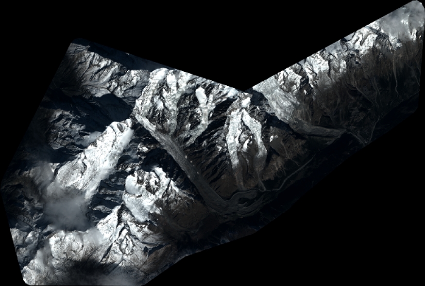
Quicklook
Copyright